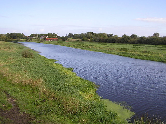
The River Bann
Introduction
The photograph on this page of The River Bann by Kenneth Allen as part of the Geograph project.
The Geograph project started in 2005 with the aim of publishing, organising and preserving representative images for every square kilometre of Great Britain, Ireland and the Isle of Man.
There are currently over 7.5m images from over 14,400 individuals and you can help contribute to the project by visiting https://www.geograph.org.uk

Image: © Kenneth Allen Taken: 29 Sep 2005
Picture taken from the M1 looking northwards, the upper river has a short distance to enter Lough Neagh. This area is very flat and the International airport is close to the east side of the lough. It exits the lough again at the north end and becomes the Lower Bann, and then proceeds via Coleraine to reach the sea.

