Sandstone rubble wall by Footpath No.19, Bishopsteignton
Introduction
The photograph on this page of Sandstone rubble wall by Footpath No.19, Bishopsteignton by Robin Stott as part of the Geograph project.
The Geograph project started in 2005 with the aim of publishing, organising and preserving representative images for every square kilometre of Great Britain, Ireland and the Isle of Man.

There are currently over 7.5m images from over 14,400 individuals and you can help contribute to the project by visiting https://www.geograph.org.uk
Sandstone rubble wall by Footpath No.19, Bishopsteignton
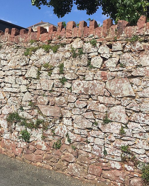
Image: © Robin Stott Taken: 20 Jul 2019
A pale grey lichen has colonised much of the garden wall of the Huntly property.
Images are licensed for reuse under creativecommons.org/licenses/by-sa/2.0
Image Location
Latitude
50.552682
Longitude
-3.54704