Veering north-northwest on Footpath No.19, Bishopsteignton
Introduction
The photograph on this page of Veering north-northwest on Footpath No.19, Bishopsteignton by Robin Stott as part of the Geograph project.
The Geograph project started in 2005 with the aim of publishing, organising and preserving representative images for every square kilometre of Great Britain, Ireland and the Isle of Man.

There are currently over 7.5m images from over 14,400 individuals and you can help contribute to the project by visiting https://www.geograph.org.uk
Veering north-northwest on Footpath No.19, Bishopsteignton
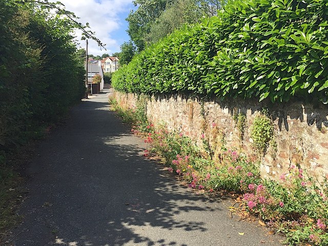
Image: © Robin Stott Taken: 20 Jul 2019
At the top is Forder Lane. The flowers are Valerian (Valeriana officinalis). The wall is of fine-grained red sandstone rubble. It was and still is the garden wall of a large property called Huntly (previously Huntley).
Images are licensed for reuse under creativecommons.org/licenses/by-sa/2.0
Image Location
Latitude
50.552592
Longitude
-3.547037