
Black Rocks Vicinity, Bolehill, Derbys.
Introduction
The photograph on this page of Black Rocks Vicinity, Bolehill, Derbys. by David Hallam-Jones as part of the Geograph project.
The Geograph project started in 2005 with the aim of publishing, organising and preserving representative images for every square kilometre of Great Britain, Ireland and the Isle of Man.

There are currently over 7.5m images from over 14,400 individuals and you can help contribute to the project by visiting https://www.geograph.org.uk
Black Rocks Vicinity, Bolehill, Derbys.
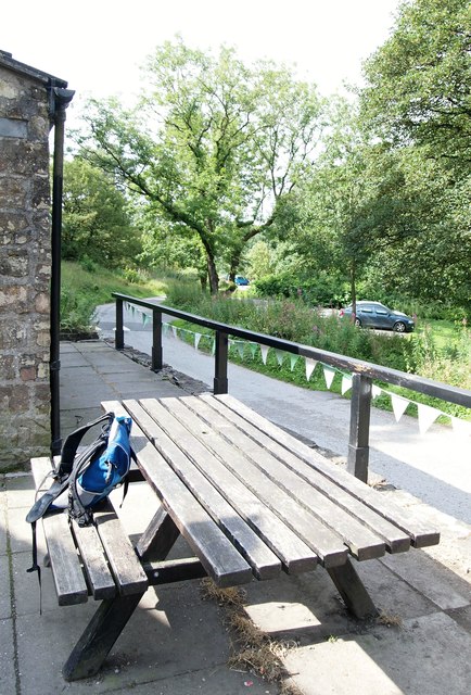
Image: © David Hallam-Jones Taken: 12 Aug 2019
This refreshment halt - which has very limited opening hours - is located on the way to or from the Black Rocks climbing and walking area. This is the view towards Steeple Arch Cemetery situated on a 'C' road called Steeple Arch Road. Black Rocks is a weathered outcrop of Ashover grit that can be reached by a short steep climb from various paths behind the photographer. Superb views can often be claimed following the climb up onto this gritstone outcrop.
Images are licensed for reuse under creativecommons.org/licenses/by-sa/2.0
Image Location

Latitude
53.097266
Longitude
-1.567022