Swan Yard leading to Cygnet Place direction sign, Swan Road near Pewsey
Introduction
The photograph on this page of Swan Yard leading to Cygnet Place direction sign, Swan Road near Pewsey by Jaggery as part of the Geograph project.
The Geograph project started in 2005 with the aim of publishing, organising and preserving representative images for every square kilometre of Great Britain, Ireland and the Isle of Man.

There are currently over 7.5m images from over 14,400 individuals and you can help contribute to the project by visiting https://www.geograph.org.uk
Swan Yard leading to Cygnet Place direction sign, Swan Road near Pewsey
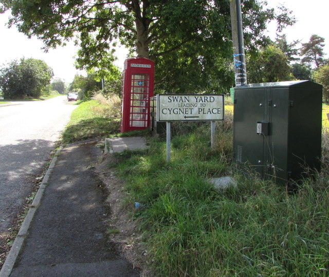
Image: © Jaggery Taken: 15 Sep 2018
This unclassified part of Swan Road is southeast of the A345 Swan Road behind the camera. The former red phonebox is in use as an information box https://www.geograph.org.uk/photo/6237133 in September 2018.
Images are licensed for reuse under creativecommons.org/licenses/by-sa/2.0
Image Location
Latitude
51.334271
Longitude
-1.766839