Smitham Chimney, East Harptree: aerial 2019 (1)
Introduction
The photograph on this page of Smitham Chimney, East Harptree: aerial 2019 (1) by Chris as part of the Geograph project.
The Geograph project started in 2005 with the aim of publishing, organising and preserving representative images for every square kilometre of Great Britain, Ireland and the Isle of Man.

There are currently over 7.5m images from over 14,400 individuals and you can help contribute to the project by visiting https://www.geograph.org.uk
Smitham Chimney, East Harptree: aerial 2019 (1)
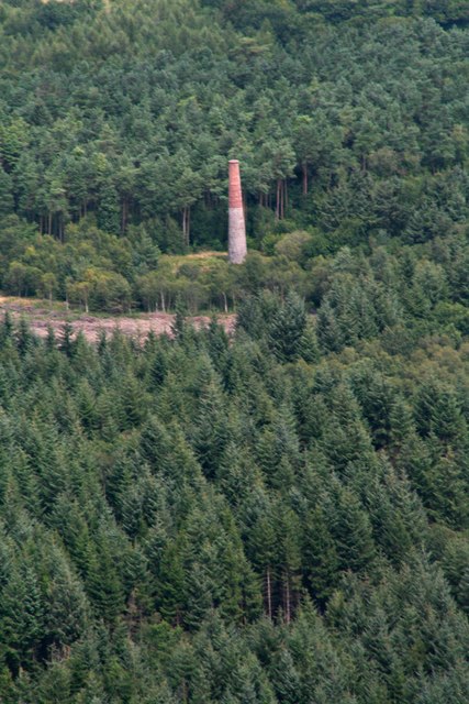
Image: © Chris Taken: 8 Aug 2019
See Image: Associated with the lead mine on the site, Smitham Chimney is 70ft high and made of brick & stone. The chimney is the last of its kind in South-West England. See also Image
Images are licensed for reuse under creativecommons.org/licenses/by-sa/2.0
Image Location


Leaflet Map data © OpenStreetMap
Latitude
51.288869
Longitude
-2.640664