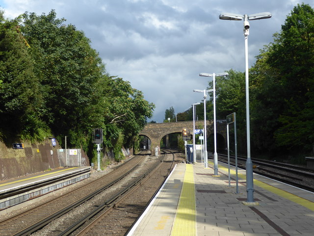
Looking up the line from Putney station
Introduction
The photograph on this page of Looking up the line from Putney station by Marathon as part of the Geograph project.
The Geograph project started in 2005 with the aim of publishing, organising and preserving representative images for every square kilometre of Great Britain, Ireland and the Isle of Man.
There are currently over 7.5m images from over 14,400 individuals and you can help contribute to the project by visiting https://www.geograph.org.uk

Image: © Marathon Taken: 7 Aug 2019
Putney station opened when the Nine Elms to Richmond line came into service on 27th July 1846. It was rebuilt between 1885 and 1886 when the track was quadrupled as far as Barnes. This view looks up the line with the two up platforms on the left and the two down platforms on the right. The bridge just ahead carries Oxford Road over the line and beyond can just be seen the District line bridge - see https://www.geograph.org.uk/photo/2336753 The next station in this direction is Wandsworth Town.

