Radio Mast near Combe
Introduction
The photograph on this page of Radio Mast near Combe by Pam Brophy as part of the Geograph project.
The Geograph project started in 2005 with the aim of publishing, organising and preserving representative images for every square kilometre of Great Britain, Ireland and the Isle of Man.

There are currently over 7.5m images from over 14,400 individuals and you can help contribute to the project by visiting https://www.geograph.org.uk
Radio Mast near Combe
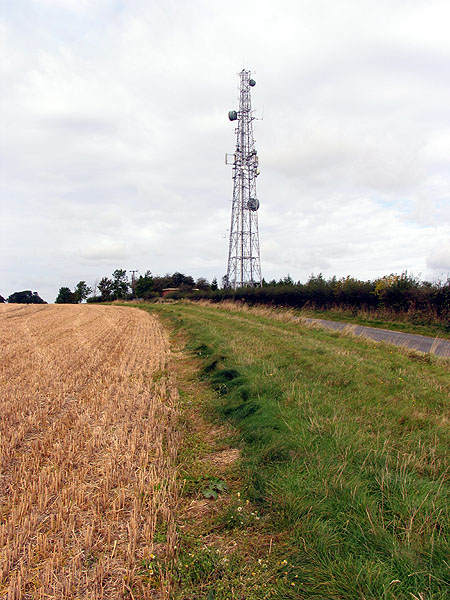
Image: © Pam Brophy Taken: 2 Oct 2005
This square is mostly farmland of which a sample is seen in this photo of the radio mast in the southern half of the square, just east of the road.
Images are licensed for reuse under creativecommons.org/licenses/by-sa/2.0
Image Location


Leaflet Map data © OpenStreetMap
Latitude
51.340497
Longitude
-1.45011