Field by Rew Road
Introduction
The photograph on this page of Field by Rew Road by Derek Harper as part of the Geograph project.
The Geograph project started in 2005 with the aim of publishing, organising and preserving representative images for every square kilometre of Great Britain, Ireland and the Isle of Man.

There are currently over 7.5m images from over 14,400 individuals and you can help contribute to the project by visiting https://www.geograph.org.uk
Field by Rew Road
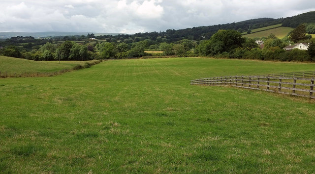
Image: © Derek Harper Taken: 7 Aug 2019
A planning application heading "major development" is attached by the gate on Ronorough Gardens from which this was taken. It is for 39 units of affordable housing https://planning.dartmoor.gov.uk/publisher/mvc/listDocuments?identifier=Planning&casenumber=0312/19 . The houses on the right are on Rew Road.
Images are licensed for reuse under creativecommons.org/licenses/by-sa/2.0
Image Location
Latitude
50.523785
Longitude
-3.752071