On-street parking, Gwerthonor Road, Gilfach
Introduction
The photograph on this page of On-street parking, Gwerthonor Road, Gilfach by Jaggery as part of the Geograph project.
The Geograph project started in 2005 with the aim of publishing, organising and preserving representative images for every square kilometre of Great Britain, Ireland and the Isle of Man.

There are currently over 7.5m images from over 14,400 individuals and you can help contribute to the project by visiting https://www.geograph.org.uk
On-street parking, Gwerthonor Road, Gilfach
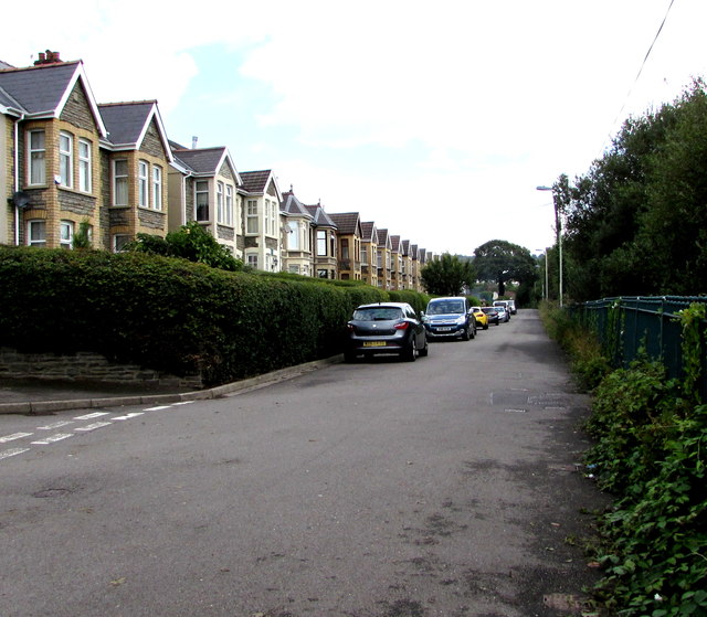
Image: © Jaggery Taken: 12 Aug 2019
The houses in this part of Gwerthonor Road are opposite railings and hedges above a railway. The corner of Gwerthonor Lane https://www.geograph.org.uk/photo/6236303 is on the left. Ahead for the centre of Gilfach and for Bargoed. Behind the camera for Pengam.
Images are licensed for reuse under creativecommons.org/licenses/by-sa/2.0
Image Location
Latitude
51.673906
Longitude
-3.226722