Heath House and cropmarks by Little Rhyne: aerial 2019
Introduction
The photograph on this page of Heath House and cropmarks by Little Rhyne: aerial 2019 by Chris as part of the Geograph project.
The Geograph project started in 2005 with the aim of publishing, organising and preserving representative images for every square kilometre of Great Britain, Ireland and the Isle of Man.

There are currently over 7.5m images from over 14,400 individuals and you can help contribute to the project by visiting https://www.geograph.org.uk
Heath House and cropmarks by Little Rhyne: aerial 2019
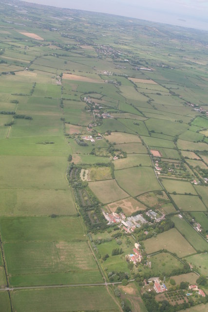
Image: © Chris Taken: 8 Aug 2019
Cropmarks believed to be due to modern field drainage.
Images are licensed for reuse under creativecommons.org/licenses/by-sa/2.0
Image Location
Latitude
51.211789
Longitude
-2.842169