Roadside House at Forge
Introduction
The photograph on this page of Roadside House at Forge by Des Blenkinsopp as part of the Geograph project.
The Geograph project started in 2005 with the aim of publishing, organising and preserving representative images for every square kilometre of Great Britain, Ireland and the Isle of Man.

There are currently over 7.5m images from over 14,400 individuals and you can help contribute to the project by visiting https://www.geograph.org.uk
Roadside House at Forge
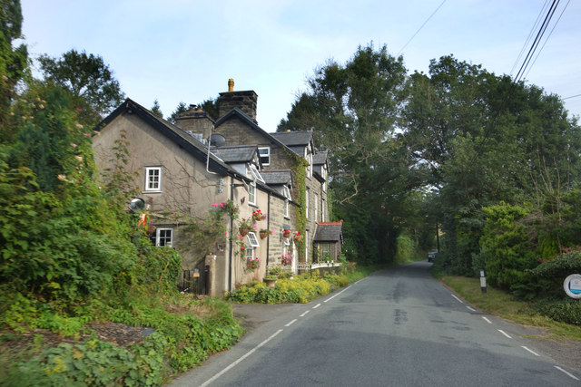
Image: © Des Blenkinsopp Taken: 8 Aug 2019
The small village of Forge is at the bottom of the Afon Dulas valley along both sides of the river.
Images are licensed for reuse under creativecommons.org/licenses/by-sa/2.0
Image Location
Latitude
52.582046
Longitude
-3.823126