Borth Community Gardens
Introduction
The photograph on this page of Borth Community Gardens by Des Blenkinsopp as part of the Geograph project.
The Geograph project started in 2005 with the aim of publishing, organising and preserving representative images for every square kilometre of Great Britain, Ireland and the Isle of Man.

There are currently over 7.5m images from over 14,400 individuals and you can help contribute to the project by visiting https://www.geograph.org.uk
Borth Community Gardens
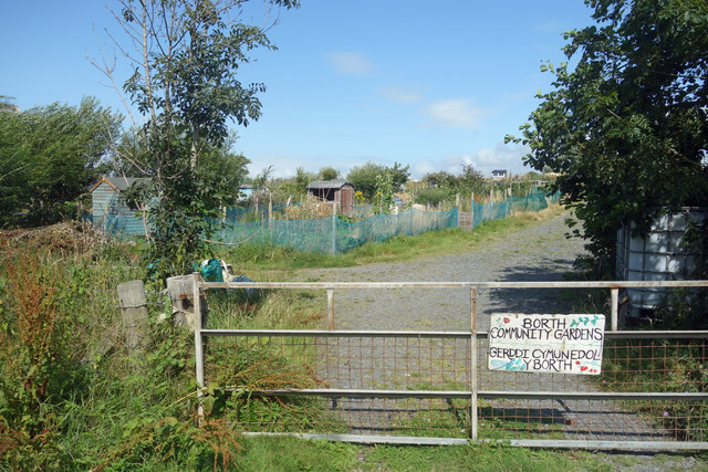
Image: © Des Blenkinsopp Taken: 6 Aug 2019
Allotments with a social dimension on former farmland next to the parish church. A comparatively recent venture by the sound of it. http://gerddicymunedol.blogspot.com
Images are licensed for reuse under creativecommons.org/licenses/by-sa/2.0
Image Location
Latitude
52.487241
Longitude
-4.045434