View down Humberhill Lane
Introduction
The photograph on this page of View down Humberhill Lane by Robert Graham as part of the Geograph project.
The Geograph project started in 2005 with the aim of publishing, organising and preserving representative images for every square kilometre of Great Britain, Ireland and the Isle of Man.

There are currently over 7.5m images from over 14,400 individuals and you can help contribute to the project by visiting https://www.geograph.org.uk
View down Humberhill Lane
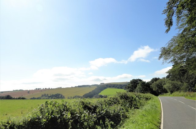
Image: © Robert Graham Taken: 23 Jul 2019
From the north end, south of Hurbuck Cottages. The road runs south from here and over the ridge in the distance, which is Humber Hill itself. This forms the north slope of the Browney valley.
Images are licensed for reuse under creativecommons.org/licenses/by-sa/2.0
Image Location
Latitude
54.828366
Longitude
-1.791075