Footpath junction west of Binsted
Introduction
The photograph on this page of Footpath junction west of Binsted by Graham Horn as part of the Geograph project.
The Geograph project started in 2005 with the aim of publishing, organising and preserving representative images for every square kilometre of Great Britain, Ireland and the Isle of Man.

There are currently over 7.5m images from over 14,400 individuals and you can help contribute to the project by visiting https://www.geograph.org.uk
Footpath junction west of Binsted
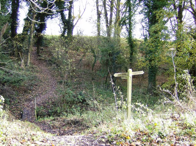
Image: © Graham Horn Taken: 25 Nov 2007
A footpath runs across the picture from West Court in the north (left) towards Binsted fishponds to the south (right). These are fed by a small stream that flows south in this hollow. This is crossed on this plank bridge by a footpath east towards Binsted.
Images are licensed for reuse under creativecommons.org/licenses/by-sa/2.0
Image Location
Latitude
51.161154
Longitude
-0.906244