The brookstray, Lower Eastern Green
Introduction
The photograph on this page of The brookstray, Lower Eastern Green by E Gammie as part of the Geograph project.
The Geograph project started in 2005 with the aim of publishing, organising and preserving representative images for every square kilometre of Great Britain, Ireland and the Isle of Man.

There are currently over 7.5m images from over 14,400 individuals and you can help contribute to the project by visiting https://www.geograph.org.uk
The brookstray, Lower Eastern Green
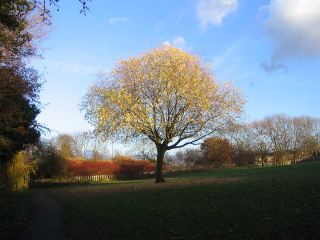
Image: © E Gammie Taken: 29 Nov 2007
Tree catching late November afternoon light in the brookstray. The brook is to the left and the embankment shows the line of the A45 Dunchurch Highway behind the tree. The subway under the A45 is just out of sight on the left (http://www.geograph.org.uk/photo/623522 ).
Images are licensed for reuse under creativecommons.org/licenses/by-sa/2.0
Image Location
Latitude
52.411073
Longitude
-1.562596