Brampford Speke
Introduction
The photograph on this page of Brampford Speke by Derek Harper as part of the Geograph project.
The Geograph project started in 2005 with the aim of publishing, organising and preserving representative images for every square kilometre of Great Britain, Ireland and the Isle of Man.

There are currently over 7.5m images from over 14,400 individuals and you can help contribute to the project by visiting https://www.geograph.org.uk
Brampford Speke
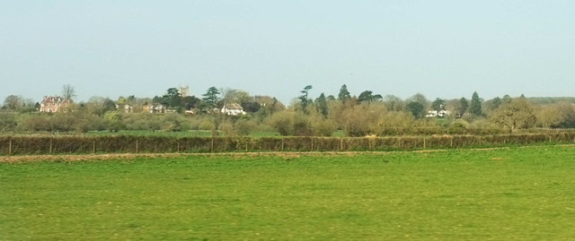
Image: © Derek Harper Taken: 1 Apr 2019
A distant view of the village on the bluff above the Exe, seen from the railway line at Upton Pyne. The nearby field boundary marks the course of the dismantled railway line up the Exe valley to Tiverton, curving to converge with the main line.
Images are licensed for reuse under creativecommons.org/licenses/by-sa/2.0
Image Location
Latitude
50.774325
Longitude
-3.52314