Smestow Valley Nature Reserve, Wolverhampton
Introduction
The photograph on this page of Smestow Valley Nature Reserve, Wolverhampton by Roger D Kidd as part of the Geograph project.
The Geograph project started in 2005 with the aim of publishing, organising and preserving representative images for every square kilometre of Great Britain, Ireland and the Isle of Man.

There are currently over 7.5m images from over 14,400 individuals and you can help contribute to the project by visiting https://www.geograph.org.uk
Smestow Valley Nature Reserve, Wolverhampton
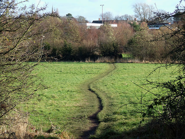
Image: © Roger D Kidd Taken: 29 Nov 2007
This appears to be a track leading to the various schools and colleges which are just visible beyond the trees. The view is from the trackbed of the former Wombourne Branch of the Wolverhampton to Stourbridge railway, closed in 1965. Download a pdf file about the reserve from this http://www.wolverhampton.gov.uk/NR/rdonlyres/4D795E66-33F5-452B-A375-2C3A8D817D84/0/smestow_valley.pdf .
Images are licensed for reuse under creativecommons.org/licenses/by-sa/2.0
Image Location
Latitude
52.590123
Longitude
-2.167199