Walk from Rosthwaite to Watendlath [4]
Introduction
The photograph on this page of Walk from Rosthwaite to Watendlath [4] by Michael Dibb as part of the Geograph project.
The Geograph project started in 2005 with the aim of publishing, organising and preserving representative images for every square kilometre of Great Britain, Ireland and the Isle of Man.

There are currently over 7.5m images from over 14,400 individuals and you can help contribute to the project by visiting https://www.geograph.org.uk
Walk from Rosthwaite to Watendlath [4]
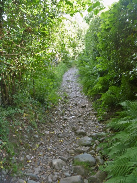
Image: © Michael Dibb Taken: 23 Jun 2019
The stoney bridleway climbs between hedges. The first part of a circular route based on Rosthwaite climbs to the National Trust owned hamlet of Watendlath set in a hanging valley at 847 feet (258 metres) on the edge of a tarn.
Images are licensed for reuse under creativecommons.org/licenses/by-sa/2.0
Image Location
Latitude
54.525395
Longitude
-3.145175