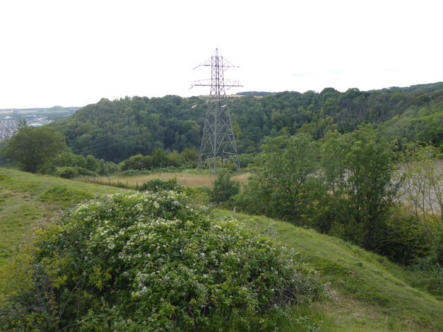
View from Castle Hill
Introduction
The photograph on this page of View from Castle Hill by Marathon as part of the Geograph project.
The Geograph project started in 2005 with the aim of publishing, organising and preserving representative images for every square kilometre of Great Britain, Ireland and the Isle of Man.
There are currently over 7.5m images from over 14,400 individuals and you can help contribute to the project by visiting https://www.geograph.org.uk

Image: © Marathon Taken: 21 Jul 2019
Castle Hill on Folkestone Downs is capped by the earthworks of a motte and bailey fort which is marked on maps as Caesar's Camp. However, an excavation of the site by General Augustus Pitt Rivers in 1878 revealed no evidence of a Roman settlement ever existing on the hill but rather that the earthworks were most likely prehistoric in origin and were later considerably strengthened by the Normans in the 1140s. The excavation also found no evidence of stone structures existing on the site and it is likely that the castle was abandoned before it was able to expand. This view is from the western ramparts, with the Channel Tunnel Terminal at Cheriton visible in the distance on the extreme left.

