Barn conversion at Froghall
Introduction
The photograph on this page of Barn conversion at Froghall by Natasha Ceridwen de Chroustchoff as part of the Geograph project.
The Geograph project started in 2005 with the aim of publishing, organising and preserving representative images for every square kilometre of Great Britain, Ireland and the Isle of Man.

There are currently over 7.5m images from over 14,400 individuals and you can help contribute to the project by visiting https://www.geograph.org.uk
Barn conversion at Froghall
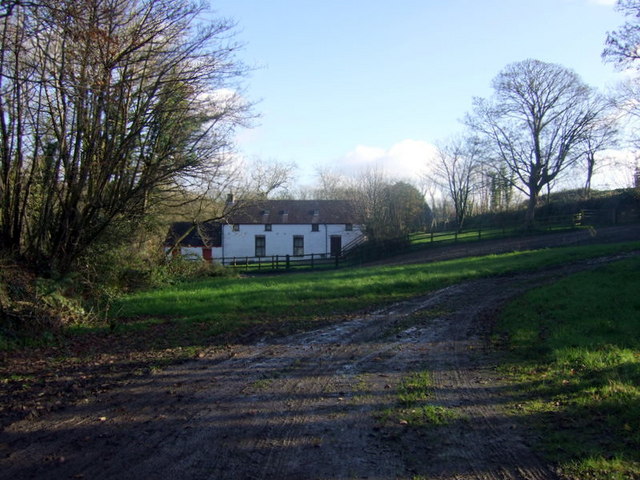
Image: © Natasha Ceridwen de Chroustchoff Taken: 28 Nov 2007
Froghall comprises a cluster of dwellings and farm buildings down a cul-de-sac near Spittal. This old barn has been nicely converted.
Images are licensed for reuse under creativecommons.org/licenses/by-sa/2.0
Image Location
Latitude
51.873296
Longitude
-4.910795