Waldringfield Boatyard
Introduction
The photograph on this page of Waldringfield Boatyard by John Sutton as part of the Geograph project.
The Geograph project started in 2005 with the aim of publishing, organising and preserving representative images for every square kilometre of Great Britain, Ireland and the Isle of Man.

There are currently over 7.5m images from over 14,400 individuals and you can help contribute to the project by visiting https://www.geograph.org.uk
Waldringfield Boatyard
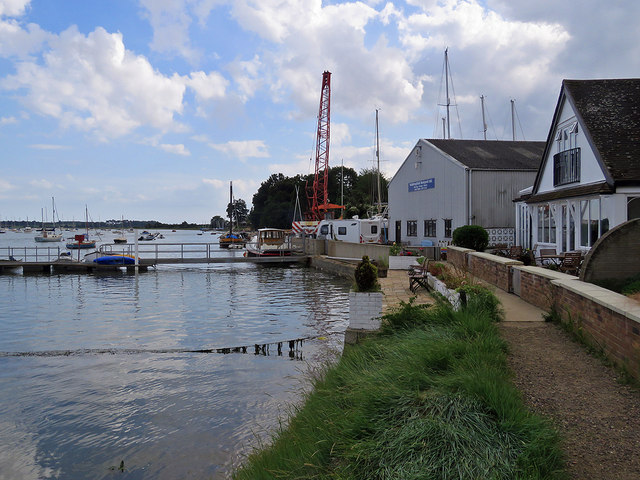
Image: © John Sutton Taken: 5 Aug 2019
Looking south from the riverside footpath on an August afternoon of high broken cloud.
Images are licensed for reuse under creativecommons.org/licenses/by-sa/2.0
Image Location
Latitude
52.052993
Longitude
1.331771