Junction, Bonhill signage
Introduction
The photograph on this page of Junction, Bonhill signage by George Rankin as part of the Geograph project.
The Geograph project started in 2005 with the aim of publishing, organising and preserving representative images for every square kilometre of Great Britain, Ireland and the Isle of Man.

There are currently over 7.5m images from over 14,400 individuals and you can help contribute to the project by visiting https://www.geograph.org.uk
Junction, Bonhill signage
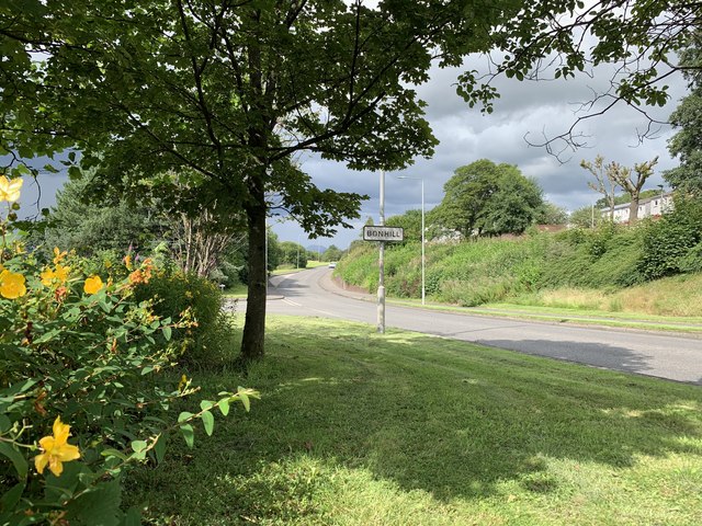
Image: © George Rankin Taken: 6 Aug 2019
Stirling Road A813 looking north, Junction to Main Street Bonhill left of Bonhill signage, Stirling Road continues northward beyond Bonhill signage. Nobleston Estate on top right of photograph.
Images are licensed for reuse under creativecommons.org/licenses/by-sa/2.0
Image Location
Latitude
55.975745
Longitude
-4.568367