Maulds Meaburn: upper bridge
Introduction
The photograph on this page of Maulds Meaburn: upper bridge by Stephen Craven as part of the Geograph project.
The Geograph project started in 2005 with the aim of publishing, organising and preserving representative images for every square kilometre of Great Britain, Ireland and the Isle of Man.

There are currently over 7.5m images from over 14,400 individuals and you can help contribute to the project by visiting https://www.geograph.org.uk
Maulds Meaburn: upper bridge
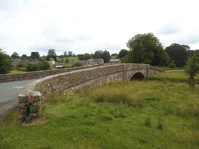
Image: © Stephen Craven Taken: 3 Aug 2019
One of two stone road bridges across the river Lyvennet in the village built in the 1860s. See Image for the "low bridge".
Images are licensed for reuse under creativecommons.org/licenses/by-sa/2.0
Image Location
Latitude
54.539941
Longitude
-2.580184