Maulds Meaburn: former pub
Introduction
The photograph on this page of Maulds Meaburn: former pub by Stephen Craven as part of the Geograph project.
The Geograph project started in 2005 with the aim of publishing, organising and preserving representative images for every square kilometre of Great Britain, Ireland and the Isle of Man.

There are currently over 7.5m images from over 14,400 individuals and you can help contribute to the project by visiting https://www.geograph.org.uk
Maulds Meaburn: former pub
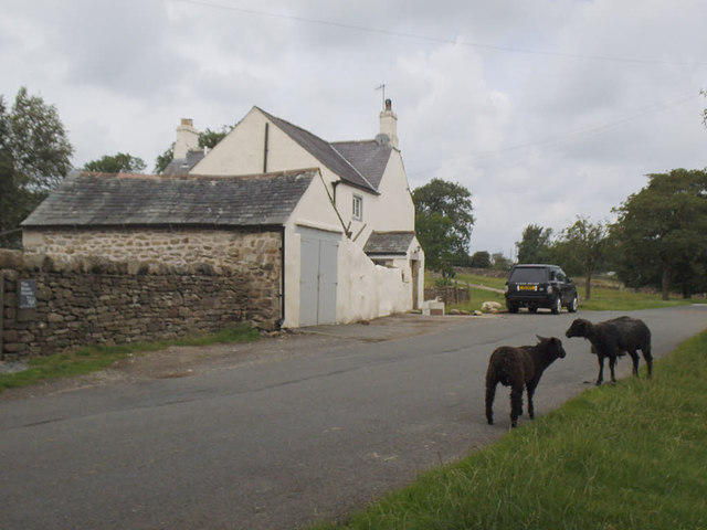
Image: © Stephen Craven Taken: 3 Aug 2019
The 1916 map shows this building with a porch as the Masons Arms. In the foreground, a couple of black sheep, one of many both black and white that roam the village, not bothered by either pedestrians or occasional motor traffic.
Images are licensed for reuse under creativecommons.org/licenses/by-sa/2.0
Image Location
Latitude
54.541286
Longitude
-2.580667