Old house with former barn at Burrells
Introduction
The photograph on this page of Old house with former barn at Burrells by Stephen Craven as part of the Geograph project.
The Geograph project started in 2005 with the aim of publishing, organising and preserving representative images for every square kilometre of Great Britain, Ireland and the Isle of Man.

There are currently over 7.5m images from over 14,400 individuals and you can help contribute to the project by visiting https://www.geograph.org.uk
Old house with former barn at Burrells
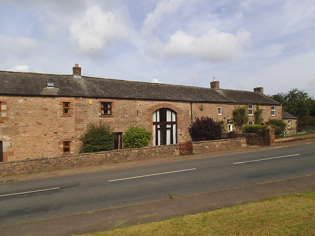
Image: © Stephen Craven Taken: 3 Aug 2019
The main farmhouse at Burrells is listed grade II but this range of buildings just to the north is not, although the initials HAR and datestone 1xx8 above the door (the date not legible due to overhanging vegetation) suggest it is of some antiquity.
Images are licensed for reuse under creativecommons.org/licenses/by-sa/2.0
Image Location
Latitude
54.559459
Longitude
-2.495567