Rural part of Llantarnam
Introduction
The photograph on this page of Rural part of Llantarnam by Jaggery as part of the Geograph project.
The Geograph project started in 2005 with the aim of publishing, organising and preserving representative images for every square kilometre of Great Britain, Ireland and the Isle of Man.

There are currently over 7.5m images from over 14,400 individuals and you can help contribute to the project by visiting https://www.geograph.org.uk
Rural part of Llantarnam
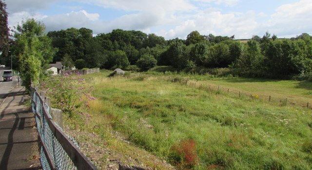
Image: © Jaggery Taken: 5 Aug 2019
Fields and trees on the east side of Newport Road in the Llantarnam area of Cwmbran. The trees are on a bank of a river, the Afon Lwyd.
Images are licensed for reuse under creativecommons.org/licenses/by-sa/2.0
Image Location
Latitude
51.635758
Longitude
-3.001722