High Murber Farm
Introduction
The photograph on this page of High Murber Farm by Oliver Dixon as part of the Geograph project.
The Geograph project started in 2005 with the aim of publishing, organising and preserving representative images for every square kilometre of Great Britain, Ireland and the Isle of Man.

There are currently over 7.5m images from over 14,400 individuals and you can help contribute to the project by visiting https://www.geograph.org.uk
High Murber Farm
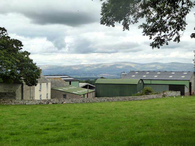
Image: © Oliver Dixon Taken: 2 Aug 2019
On the skyline, the north Pennine escarpment beyond the Eden valley. The main summits are Cross Fell Image (centre) and (to the right) Little Dun Fell Image and Great Dun Fell Image
Images are licensed for reuse under creativecommons.org/licenses/by-sa/2.0
Image Location
Latitude
54.556133
Longitude
-2.64783