End of public footpath behind bus shelter
Introduction
The photograph on this page of End of public footpath behind bus shelter by Andrew Tatlow as part of the Geograph project.
The Geograph project started in 2005 with the aim of publishing, organising and preserving representative images for every square kilometre of Great Britain, Ireland and the Isle of Man.

There are currently over 7.5m images from over 14,400 individuals and you can help contribute to the project by visiting https://www.geograph.org.uk
End of public footpath behind bus shelter
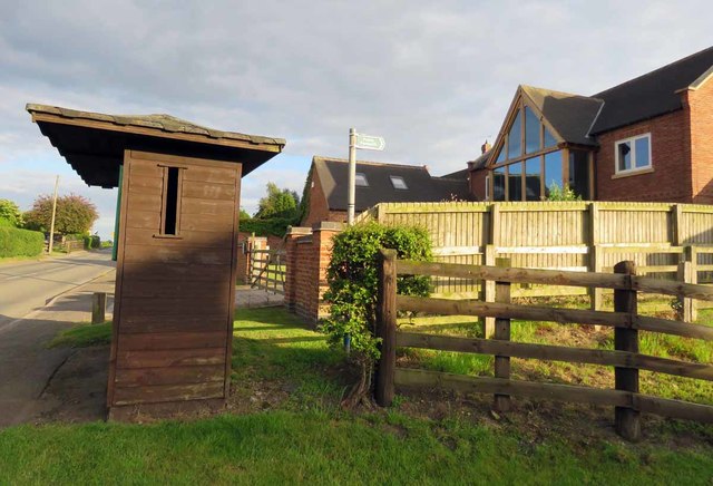
Image: © Andrew Tatlow Taken: 21 Jun 2019
The large house in the background replaced a bungalow. Looking at satellite images it would appear that the bus shelter has been moved a few feet towards the camera since the demise of the bungalow so that it hides and obstructs the footpath!
Images are licensed for reuse under creativecommons.org/licenses/by-sa/2.0
Image Location
Latitude
52.819751
Longitude
-1.064963