Witcombe Farm, Great Witcombe
Introduction
The photograph on this page of Witcombe Farm, Great Witcombe by Philip Halling as part of the Geograph project.
The Geograph project started in 2005 with the aim of publishing, organising and preserving representative images for every square kilometre of Great Britain, Ireland and the Isle of Man.

There are currently over 7.5m images from over 14,400 individuals and you can help contribute to the project by visiting https://www.geograph.org.uk
Witcombe Farm, Great Witcombe
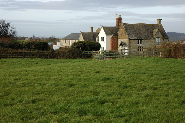
Image: © Philip Halling Taken: 25 Nov 2007
The farmhouse at Witcombe farm viewed from the footpath which passes by, one of the Witcombe Reservoirs can be seen beyond the farm.
Images are licensed for reuse under creativecommons.org/licenses/by-sa/2.0
Image Location


Leaflet Map data © OpenStreetMap
Latitude
51.832993
Longitude
-2.136512