Chapel Meadows, Llangrove, Herefordshire
Introduction
The photograph on this page of Chapel Meadows, Llangrove, Herefordshire by Jaggery as part of the Geograph project.
The Geograph project started in 2005 with the aim of publishing, organising and preserving representative images for every square kilometre of Great Britain, Ireland and the Isle of Man.

There are currently over 7.5m images from over 14,400 individuals and you can help contribute to the project by visiting https://www.geograph.org.uk
Chapel Meadows, Llangrove, Herefordshire
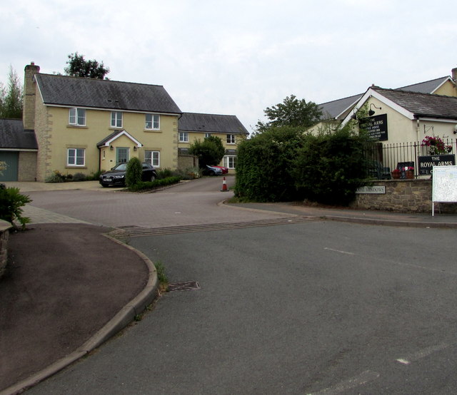
Image: © Jaggery Taken: 4 Aug 2019
Cul-de-sac on the southwest side of the main road through the village. The Royal Arms pub https://www.geograph.org.uk/photo/6227997 is on the right.
Images are licensed for reuse under creativecommons.org/licenses/by-sa/2.0
Image Location


Leaflet Map data © OpenStreetMap
Latitude
51.870231
Longitude
-2.692904