St Thomas Street towards Chantry Close, Wells
Introduction
The photograph on this page of St Thomas Street towards Chantry Close, Wells by Jaggery as part of the Geograph project.
The Geograph project started in 2005 with the aim of publishing, organising and preserving representative images for every square kilometre of Great Britain, Ireland and the Isle of Man.

There are currently over 7.5m images from over 14,400 individuals and you can help contribute to the project by visiting https://www.geograph.org.uk
St Thomas Street towards Chantry Close, Wells
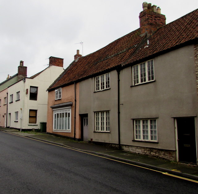
Image: © Jaggery Taken: 27 Sep 2016
Looking to the northeast along the B3139 St Thomas Street. The Chantry Close name sign is near the wheelie bin in the background.
Images are licensed for reuse under creativecommons.org/licenses/by-sa/2.0
Image Location


Leaflet Map data © OpenStreetMap
Latitude
51.211535
Longitude
-2.641165