Gateway at St Andrew's United Reformed Church
Introduction
The photograph on this page of Gateway at St Andrew's United Reformed Church by Alan Murray-Rust as part of the Geograph project.
The Geograph project started in 2005 with the aim of publishing, organising and preserving representative images for every square kilometre of Great Britain, Ireland and the Isle of Man.

There are currently over 7.5m images from over 14,400 individuals and you can help contribute to the project by visiting https://www.geograph.org.uk
Gateway at St Andrew's United Reformed Church
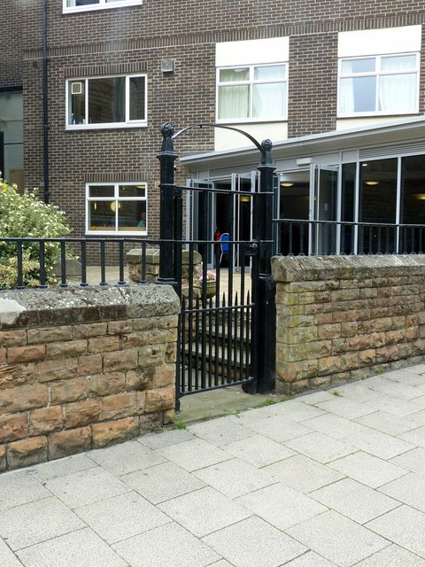
Image: © Alan Murray-Rust Taken: 26 Jul 2019
Built 1869, together with the parent church, the perimeter wall is Listed Grade II separately.
Images are licensed for reuse under creativecommons.org/licenses/by-sa/2.0
Image Location
Latitude
52.95688
Longitude
-1.153855