Former Moriah Chapel, Pencader
Introduction
The photograph on this page of Former Moriah Chapel, Pencader by Jaggery as part of the Geograph project.
The Geograph project started in 2005 with the aim of publishing, organising and preserving representative images for every square kilometre of Great Britain, Ireland and the Isle of Man.

There are currently over 7.5m images from over 14,400 individuals and you can help contribute to the project by visiting https://www.geograph.org.uk
Former Moriah Chapel, Pencader
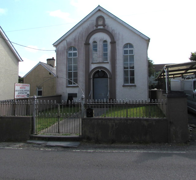
Image: © Jaggery Taken: 1 Aug 2019
In August 2019 the former chapel is in secular use. The notice on the left shows HOUSE CLEARANCES WANTED - WE BUY & SELL ANTIQUES & VINTAGE ITEMS. The year 1897 is on the Moriah name tablet. https://www.geograph.org.uk/photo/6226424
Images are licensed for reuse under creativecommons.org/licenses/by-sa/2.0
Image Location
Latitude
51.998099
Longitude
-4.265903