Pencader Stores, Pencader
Introduction
The photograph on this page of Pencader Stores, Pencader by Jaggery as part of the Geograph project.
The Geograph project started in 2005 with the aim of publishing, organising and preserving representative images for every square kilometre of Great Britain, Ireland and the Isle of Man.

There are currently over 7.5m images from over 14,400 individuals and you can help contribute to the project by visiting https://www.geograph.org.uk
Pencader Stores, Pencader
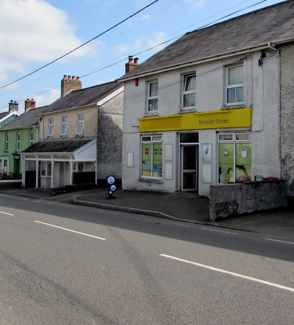
Image: © Jaggery Taken: 1 Aug 2019
Convenience store on the east side of the B4459, the main road through the village, viewed in August 2019. The Premier Express name on the left side of the nameboard seen in a July 2011 Google Street View has been obliterated.
Images are licensed for reuse under creativecommons.org/licenses/by-sa/2.0
Image Location
Latitude
51.998728
Longitude
-4.265934