Fields Near Northleigh
Introduction
The photograph on this page of Fields Near Northleigh by Nigel Mykura as part of the Geograph project.
The Geograph project started in 2005 with the aim of publishing, organising and preserving representative images for every square kilometre of Great Britain, Ireland and the Isle of Man.

There are currently over 7.5m images from over 14,400 individuals and you can help contribute to the project by visiting https://www.geograph.org.uk
Fields Near Northleigh
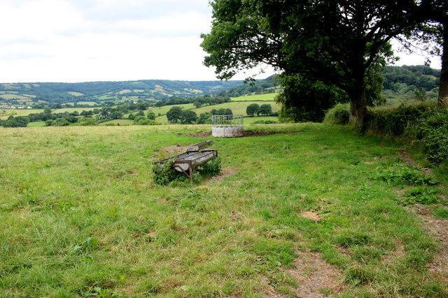
Image: © Nigel Mykura Taken: 13 Jul 2019
These pasture fields slope down to a small stream which runs through the centre of Northleigh.
Images are licensed for reuse under creativecommons.org/licenses/by-sa/2.0
Image Location
Latitude
50.768258
Longitude
-3.141048