Field behind Parsonage Farmhouse, Stalisfield
Introduction
The photograph on this page of Field behind Parsonage Farmhouse, Stalisfield by pam fray as part of the Geograph project.
The Geograph project started in 2005 with the aim of publishing, organising and preserving representative images for every square kilometre of Great Britain, Ireland and the Isle of Man.

There are currently over 7.5m images from over 14,400 individuals and you can help contribute to the project by visiting https://www.geograph.org.uk
Field behind Parsonage Farmhouse, Stalisfield
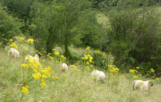
Image: © pam fray Taken: 30 Jul 2019
The sheep manage this steep descent into the valley better than I do on the very rough footpath.
Images are licensed for reuse under creativecommons.org/licenses/by-sa/2.0
Image Location
Latitude
51.235252
Longitude
0.80494