Adam and Eve Mews, Kensington
Introduction
The photograph on this page of Adam and Eve Mews, Kensington by Free Man as part of the Geograph project.
The Geograph project started in 2005 with the aim of publishing, organising and preserving representative images for every square kilometre of Great Britain, Ireland and the Isle of Man.

There are currently over 7.5m images from over 14,400 individuals and you can help contribute to the project by visiting https://www.geograph.org.uk
Adam and Eve Mews, Kensington
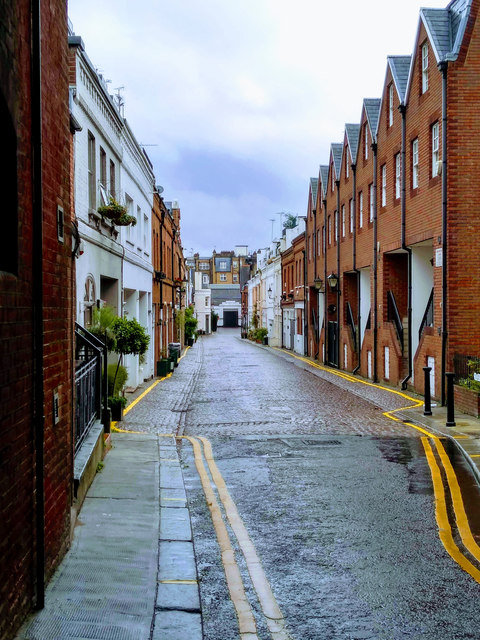
Image: © Free Man Taken: 30 Jul 2019
See here: https://everchangingmews.com/mews/adam-and-eve-mews/ for info regarding this mews: "Adam and Eve Mews is a cobbled through-road between Kensington High Street and Allen Street in the Royal Borough of Kensington and Chelsea.... The Mews is part of Kensington’s Edwardes Square, Scarsdale and Abingdon Conservation Area, which was first designated in January 1970 and extended in 1970 to cover part of Adam and Eve Mews (complete cover in 1981)."
Images are licensed for reuse under creativecommons.org/licenses/by-sa/2.0
Image Location
Latitude
51.499181
Longitude
-0.194394