Riverbank part of the A475, Adpar, Ceredigion
Introduction
The photograph on this page of Riverbank part of the A475, Adpar, Ceredigion by Jaggery as part of the Geograph project.
The Geograph project started in 2005 with the aim of publishing, organising and preserving representative images for every square kilometre of Great Britain, Ireland and the Isle of Man.

There are currently over 7.5m images from over 14,400 individuals and you can help contribute to the project by visiting https://www.geograph.org.uk
Riverbank part of the A475, Adpar, Ceredigion
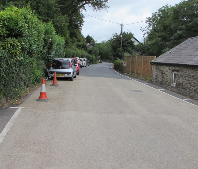
Image: © Jaggery Taken: 13 Jul 2019
This part of the A475 is on the north bank of the River Teifi. Pointing ahead, a nearby brown sign https://www.geograph.org.uk/photo/6225281 shows Teifi Valley Railway.
Images are licensed for reuse under creativecommons.org/licenses/by-sa/2.0
Image Location
Latitude
52.040308
Longitude
-4.465627