Uppingham Road, Corby
Introduction
The photograph on this page of Uppingham Road, Corby by David Howard as part of the Geograph project.
The Geograph project started in 2005 with the aim of publishing, organising and preserving representative images for every square kilometre of Great Britain, Ireland and the Isle of Man.

There are currently over 7.5m images from over 14,400 individuals and you can help contribute to the project by visiting https://www.geograph.org.uk
Uppingham Road, Corby
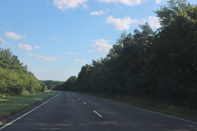
Image: © David Howard Taken: 29 Jul 2019
Uppingham Road is the Corby Bypass. I wouldn't recommend anyone to go into Corby itself unless they have to, and they have a map as it's virtually impossible to navigate and the direction signs are more clues than directions.
Images are licensed for reuse under creativecommons.org/licenses/by-sa/2.0
Image Location
Latitude
52.469192
Longitude
-0.740886