Pilot boat off Dunoon
Introduction
The photograph on this page of Pilot boat off Dunoon by Thomas Nugent as part of the Geograph project.
The Geograph project started in 2005 with the aim of publishing, organising and preserving representative images for every square kilometre of Great Britain, Ireland and the Isle of Man.

There are currently over 7.5m images from over 14,400 individuals and you can help contribute to the project by visiting https://www.geograph.org.uk
Pilot boat off Dunoon
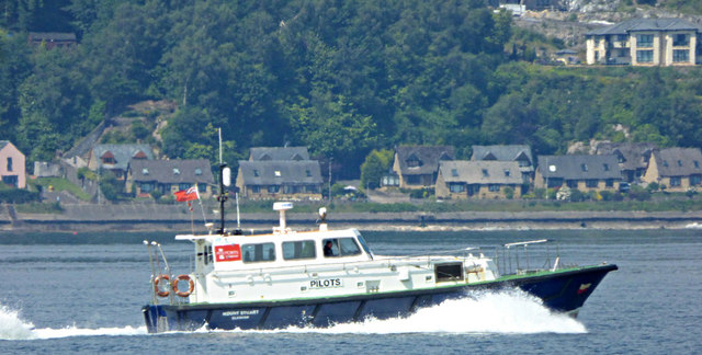
Image: © Thomas Nugent Taken: 15 Jul 2019
Mount Stuart heading upstream, 90 minutes after heading down Image Viewed from Lunderston Bay coastal path.
Images are licensed for reuse under creativecommons.org/licenses/by-sa/2.0
Image Location
Latitude
55.933594
Longitude
-4.934192