Bramcote Hills schools
Introduction
The photograph on this page of Bramcote Hills schools by Alan Murray-Rust as part of the Geograph project.
The Geograph project started in 2005 with the aim of publishing, organising and preserving representative images for every square kilometre of Great Britain, Ireland and the Isle of Man.

There are currently over 7.5m images from over 14,400 individuals and you can help contribute to the project by visiting https://www.geograph.org.uk
Bramcote Hills schools
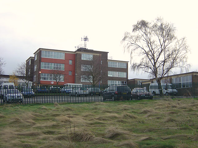
Image: © Alan Murray-Rust Taken: 25 Nov 2007
A large secondary school complex serving principally Wollaton and Stapleford.
Images are licensed for reuse under creativecommons.org/licenses/by-sa/2.0
Image Location
Latitude
52.94349
Longitude
-1.248166