Otterton Churchyard and School
Introduction
The photograph on this page of Otterton Churchyard and School by Brian Westlake as part of the Geograph project.
The Geograph project started in 2005 with the aim of publishing, organising and preserving representative images for every square kilometre of Great Britain, Ireland and the Isle of Man.

There are currently over 7.5m images from over 14,400 individuals and you can help contribute to the project by visiting https://www.geograph.org.uk
Otterton Churchyard and School
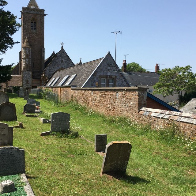
Image: © Brian Westlake Taken: 27 Jun 2019
Flush bracket benchmark G5047 on a school building can be viewed from over the adjacent churchyard wall at this location. See https://www.geograph.org.uk/photo/6224669 for a view over the wall and https://www.bench-marks.org.uk/bm16473 for details of the mark.
Images are licensed for reuse under creativecommons.org/licenses/by-sa/2.0
Image Location
Latitude
50.658924
Longitude
-3.301946