Field access pull-off and gate by A371
Introduction
The photograph on this page of Field access pull-off and gate by A371 by David Smith as part of the Geograph project.
The Geograph project started in 2005 with the aim of publishing, organising and preserving representative images for every square kilometre of Great Britain, Ireland and the Isle of Man.

There are currently over 7.5m images from over 14,400 individuals and you can help contribute to the project by visiting https://www.geograph.org.uk
Field access pull-off and gate by A371
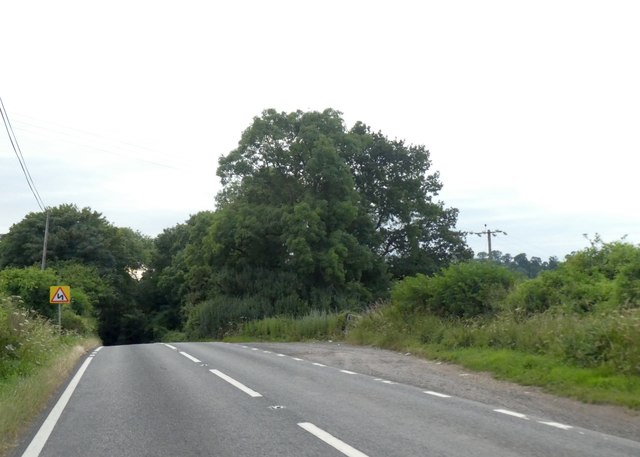
Image: © David Smith Taken: 9 Jul 2019
The woodland on the right appears to be an extension of Slade's Wood
Images are licensed for reuse under creativecommons.org/licenses/by-sa/2.0
Image Location


Leaflet Map data © OpenStreetMap
Latitude
51.061056
Longitude
-2.458858