The old A43 near Bulwick
Introduction
The photograph on this page of The old A43 near Bulwick by Jonathan Thacker as part of the Geograph project.
The Geograph project started in 2005 with the aim of publishing, organising and preserving representative images for every square kilometre of Great Britain, Ireland and the Isle of Man.

There are currently over 7.5m images from over 14,400 individuals and you can help contribute to the project by visiting https://www.geograph.org.uk
The old A43 near Bulwick
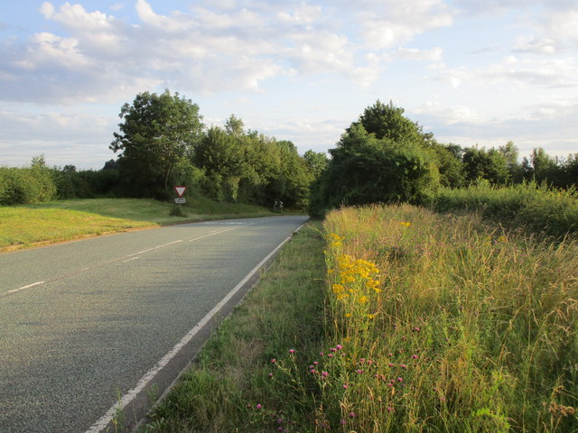
Image: © Jonathan Thacker Taken: 29 Jul 2019
Prior to the opening of the Bulwick bypass on 16th April 1986 this was main route linking the principal towns of Northamptonshire with the A1 and the North.
Images are licensed for reuse under creativecommons.org/licenses/by-sa/2.0
Image Location
Latitude
52.526891
Longitude
-0.587702