FFORDD AR GAU/ROAD CLOSED, Bettws Hill, Newport
Introduction
The photograph on this page of FFORDD AR GAU/ROAD CLOSED, Bettws Hill, Newport by Jaggery as part of the Geograph project.
The Geograph project started in 2005 with the aim of publishing, organising and preserving representative images for every square kilometre of Great Britain, Ireland and the Isle of Man.

There are currently over 7.5m images from over 14,400 individuals and you can help contribute to the project by visiting https://www.geograph.org.uk
FFORDD AR GAU/ROAD CLOSED, Bettws Hill, Newport
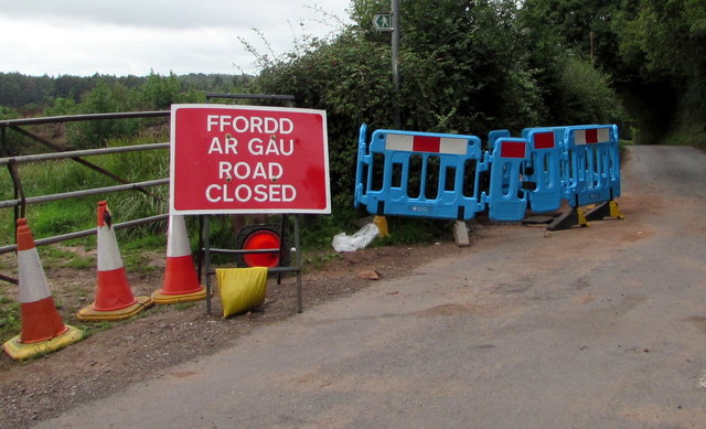
Image: © Jaggery Taken: 22 Aug 2018
A temporary Welsh/English FFORDD AR GAU/ROAD CLOSED sign, cones and Welsh Water turquoise temporary barriers are in place on August 22nd 2018.
Images are licensed for reuse under creativecommons.org/licenses/by-sa/2.0
Image Location
Latitude
51.606579
Longitude
-3.027938