Complicated junction in Pettaugh
Introduction
The photograph on this page of Complicated junction in Pettaugh by David Howard as part of the Geograph project.
The Geograph project started in 2005 with the aim of publishing, organising and preserving representative images for every square kilometre of Great Britain, Ireland and the Isle of Man.

There are currently over 7.5m images from over 14,400 individuals and you can help contribute to the project by visiting https://www.geograph.org.uk
Complicated junction in Pettaugh
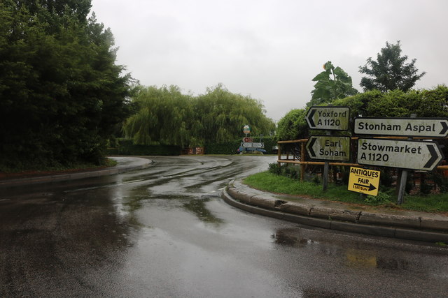
Image: © David Howard Taken: 27 Jul 2019
There are a few of these on the A1120, showing it was cobbled together from various other roads and forced through existing major roads going north to south.
Images are licensed for reuse under creativecommons.org/licenses/by-sa/2.0
Image Location
Latitude
52.190906
Longitude
1.167495