Units on Stowmarket Road, Earl Stonham
Introduction
The photograph on this page of Units on Stowmarket Road, Earl Stonham by David Howard as part of the Geograph project.
The Geograph project started in 2005 with the aim of publishing, organising and preserving representative images for every square kilometre of Great Britain, Ireland and the Isle of Man.

There are currently over 7.5m images from over 14,400 individuals and you can help contribute to the project by visiting https://www.geograph.org.uk
Units on Stowmarket Road, Earl Stonham
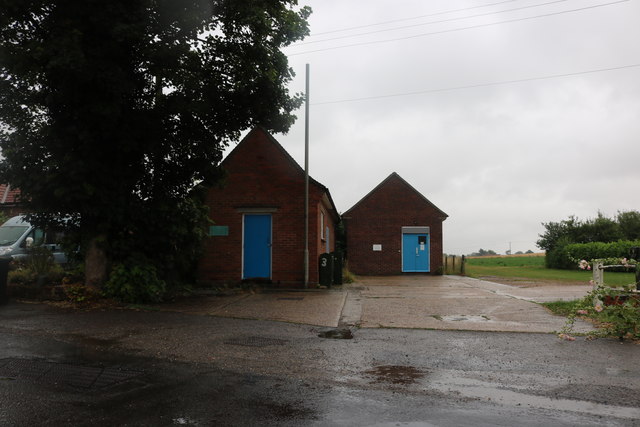
Image: © David Howard Taken: 27 Jul 2019
These appear to be for public services but don't have the usual signs telling you which one.
Images are licensed for reuse under creativecommons.org/licenses/by-sa/2.0
Image Location
Latitude
52.191358
Longitude
1.099772