West High Street, Buckhaven
Introduction
The photograph on this page of West High Street, Buckhaven by Richard Law as part of the Geograph project.
The Geograph project started in 2005 with the aim of publishing, organising and preserving representative images for every square kilometre of Great Britain, Ireland and the Isle of Man.

There are currently over 7.5m images from over 14,400 individuals and you can help contribute to the project by visiting https://www.geograph.org.uk
West High Street, Buckhaven
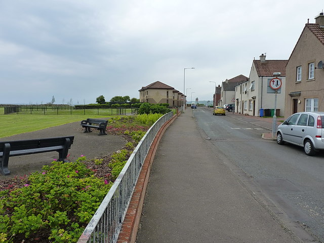
Image: © Richard Law Taken: 7 Jun 2019
1960s & '70s housing on the reclaimed land behind the modern sea defences; the story is told fairly succinctly in Image
Images are licensed for reuse under creativecommons.org/licenses/by-sa/2.0
Image Location
Latitude
56.168248
Longitude
-3.035129