Track to Rull House
Introduction
The photograph on this page of Track to Rull House by Nigel Mykura as part of the Geograph project.
The Geograph project started in 2005 with the aim of publishing, organising and preserving representative images for every square kilometre of Great Britain, Ireland and the Isle of Man.

There are currently over 7.5m images from over 14,400 individuals and you can help contribute to the project by visiting https://www.geograph.org.uk
Track to Rull House
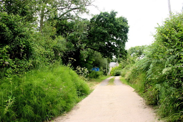
Image: © Nigel Mykura Taken: 13 Jul 2019
This track leads off the Slade to Northleigh lane to Rull House which can be seen in the distance.
Images are licensed for reuse under creativecommons.org/licenses/by-sa/2.0
Image Location
Latitude
50.774846
Longitude
-3.129436